“About 5 percent of Alaska-some 29,000 square miles (75,110 sq km))- is covered by GLACIERS”
National Geographic Kids, 5,000 Awesome Facts
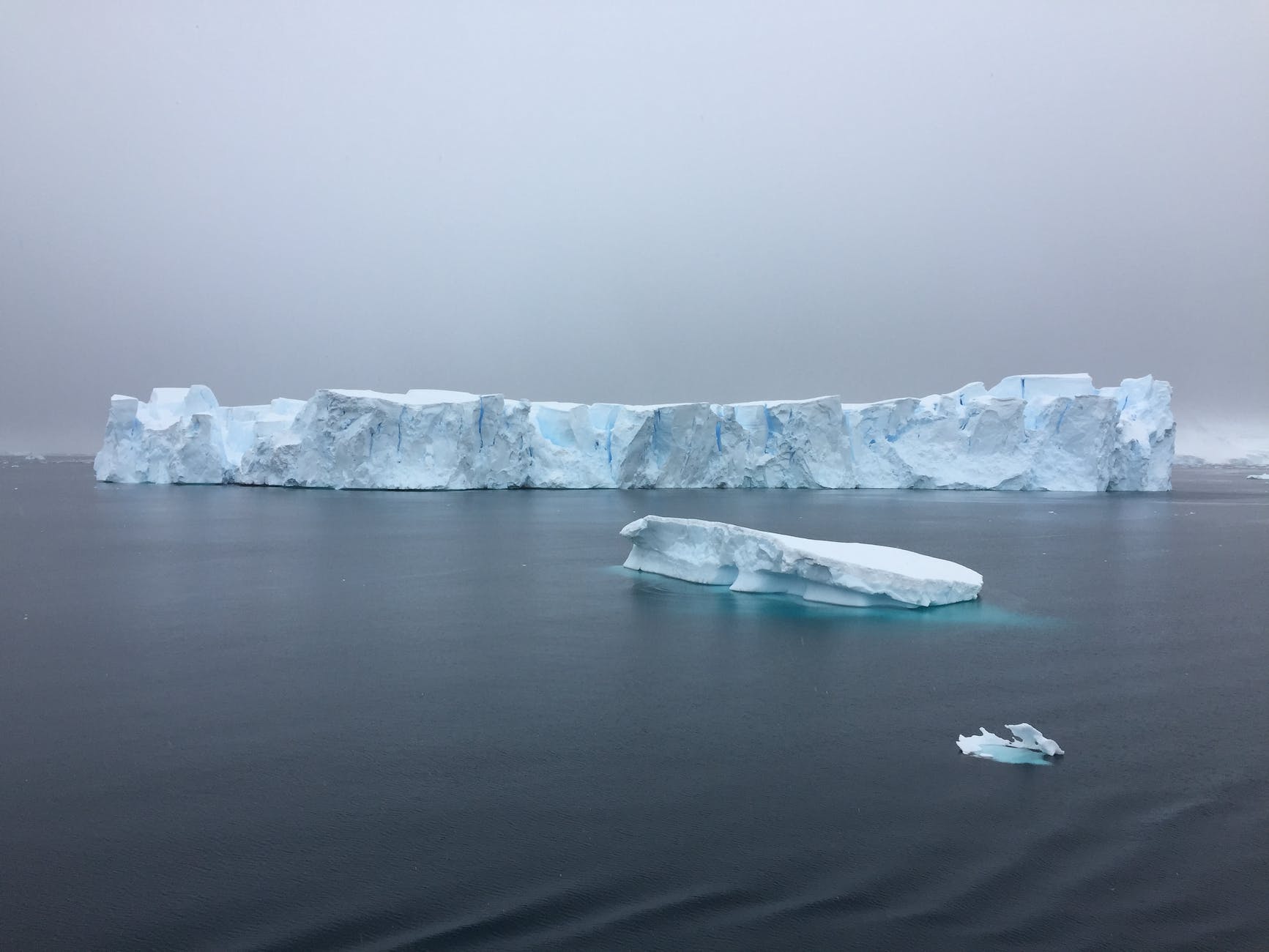
Firstly, a glacier is formed when snow falls more than it melts, and over a period of time the snow underneath compacts into ice, and becomes thick enough to move, turning into generally a frozen river.
These ice forms cover about 12.5 % of the Earth’s surface, or 10%, depending on which source is being read, and are concentrated mainly in Greenland and in Antarctica. Currently there are *200,000 glaciers* in the whole world.
*100,000* of the glaciers, according to the Alaska Almanac, reside today in Alaska, with 616 of them officially named. I won’t list them but they can be found on USGS Geographic Names Information System online data base.
5% of Alaska is a glacier, or has 128 times more glacial coverage than the rest of the U.S. combined. The other states are Washington, Oregon, California, Montana, Wyoming, Colorado, and Nevada, with Mount Rainer in WA having the largest glacier of these 8 states.
Mount Rainer was also the sight of the famous 1947 alien craft sighting by pilot Kenneth Arnold. Just a little F.Y.I. I found on the glacier research path.
The depth of a glacier is approximately 1/2 surface width of the glaciers, ranging from a few tens of meters to 1500 meters (4,921.2598 Feet) on larger ones. Greenland’s is about 6 miles in width, so do the math on that one! That’s impressive.
*The amount of glaciers is very hard to determine, for when a large glacier breaks up it can turn into more glaciers.*
*Reuters Fact check, re: there were “130,000 glaciers when Al Gore was born in 1948, and there are 130,000 glaciers still today” can’t be a relevant argument when it comes to global warming, and when it comes to amount of glaciers now and then.*
Luckily we now have GOOGLE EARTH.
Sources:
https://en.wikipedia.org/wiki/Glacier
https://www.nps.gov/glba/learn/nature/common-questions-and-myths-about-glaciers.htm